Monitoring our carbon and nature credit programs
We use the most sophisticated and credible monitoring systems throughout our carbon and nature projects.
This includes remote-sensing data from Lidar, 4-Band and satellite imagery, ground-based plot measurements, and machine-learning data analyses conducted by Tesera Systems, a Canadian-owned IT company.
Our monitoring approach offers unparalleled accuracy and uses data from every square metre of our forestlands, spanning hundreds of square kilometres. This includes deploying made-in-Canada, high-resolution inventory methods.
To our knowledge, we are the first carbon project to deploy this level of technology throughout all our projects.
Most carbon projects only use ground sample plots. However, we use both ground samples and remote-sensing data to create a comprehensive picture of our forest resources. This ensures we do not miss critical changes in our projects’ carbon storage over time.
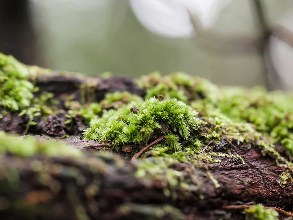
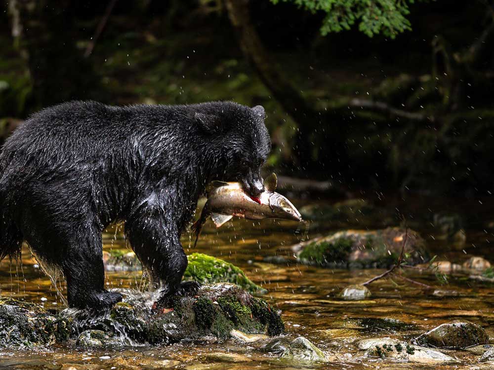
Our precise forest inventories also allow us to map and track forest plant communities and forest structures that directly impact biodiversity. And by deploying remote cameras, we can detect and track changes in the relative abundance of wildlife on our land.
Measuring results:
Baseline projections and conservative forecasting
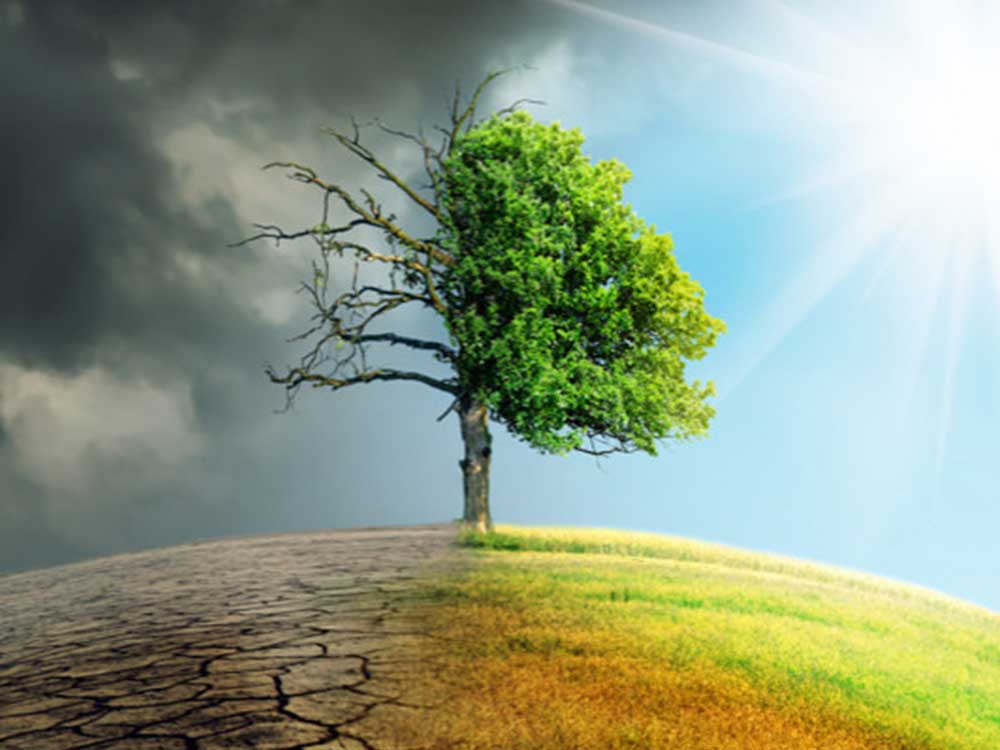
We use robust baseline analyses and conservative forecasting to assess the benefit of our activities for carbon storage and avoided emissions.
A common criticism of many carbon projects is that they can use unreasonable assumptions to calculate their impact in preventing destructive timber harvest practices and ecological damage.
For this reason, we take a conservative approach to our forecasts and carefully evaluate the regional forest harvesting practices to understand how they relate to our properties.
Harvesting constraints that are accounted for include areas uneconomical for timber harvest – such as steep slopes – which are excluded from our baseline harvesting assumptions, as well as harvest volumes that are constrained by property-specific access and wood evacuation routes – e.g., road and rail.
For our commercial harvest properties, harvest intensity is not only limited to activities that comply with the laws and regulations governing timber harvest but also to reflect sustainable timber harvest practices that comply with the Sustainable Forest Initiative (SFI) or Forest Stewardship Council (FSC) harvest programs.
Some other carbon projects assume their forestlands would be harvested unsustainability under a liquidations-type harvesting regime that maximizes net present value. Our approach is much more conservative.
We assume our commercial forests would be harvested in line with sustainable harvest management plans, which are more common for privately owned Canadian forestlands.
This means the credits we generate only represent the difference between our forest conditions and those that would have occurred under sustained yield forestry that would comply with SFI or FSC standards.